THANK YOU FOR SUBSCRIBING
Be first to read the latest tech news, Industry Leader's Insights, and CIO interviews of medium and large enterprises exclusively from Gov CIO Outlook
THANK YOU FOR SUBSCRIBING

By
Government CIO Outlook | Thursday, October 23, 2025
Stay ahead of the industry with exclusive feature stories on the top companies, expert insights and the latest news delivered straight to your inbox. Subscribe today.
Fremont, CA: Technology is vital in managing disasters and recovery, significantly improving our capacity to predict, respond to, and recover from crises. Integrating early warning systems, predictive models, artificial intelligence, drones, and blockchain technology has transformed disaster response efforts, helping minimize human suffering and reduce economic losses.
One of the most vital contributions of technology to disaster management is the development of early warning systems and predictive modeling. These technologies enable authorities to forecast potential disasters and issue alerts to the public, providing an opportunity for people to evacuate or take protective measures.
Earthquake early warning systems rely on seismic sensors to detect tremors and alert affected regions. In the case of tsunamis, ocean floor sensors and satellite data are used to predict the arrival of waves, giving coastal communities critical time to evacuate.
Advanced meteorological models, using satellite data and climate simulations, predict hurricanes, cyclones, and extreme weather conditions. This technology helps prepare the affected areas by alerting them to threats like flooding, heavy rainfall, or storms.
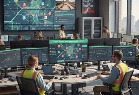
Geographic information systems (GIS) and remote sensing innovations offer essential data for disaster management. They allow emergency responders and recovery teams to map affected areas in real-time, identify safe zones, and prioritize resources.
GIS tools can create detailed maps of affected areas, highlighting the extent of damage, infrastructure vulnerability, and safe evacuation routes. These maps are also essential for allocating resources effectively.
Satellite imagery and drones are invaluable in providing up-to-date visuals of disaster zones. Drones can capture high-resolution images, assess structural damage, and help rescue teams navigate in difficult-to-reach areas. This data supports recovery operations by pinpointing regions most in need of aid.
Communication is critical for coordination among rescue teams, local authorities, and the affected population during a disaster. However, infrastructure can often be destroyed, making traditional communication methods unreliable.
Even when traditional networks fail, mobile phones can be essential for emergency communication. Social media is a tool for crowdsourcing information, allowing residents to report damage and emergency needs. In areas where cellular networks are destroyed, satellite phones and radios can provide vital communication links, ensuring that relief efforts can be coordinated.
I agree We use cookies on this website to enhance your user experience. By clicking any link on this page you are giving your consent for us to set cookies. More info


