THANK YOU FOR SUBSCRIBING
Be first to read the latest tech news, Industry Leader's Insights, and CIO interviews of medium and large enterprises exclusively from Gov CIO Outlook
THANK YOU FOR SUBSCRIBING

By
Government CIO Outlook | Friday, December 26, 2025
Stay ahead of the industry with exclusive feature stories on the top companies, expert insights and the latest news delivered straight to your inbox. Subscribe today.
Fremont, CA: Integrating technology into emergency management enhances the capability to foresee, respond to, and recover from disasters. Innovations such as GIS, drones, mobile apps, and AI-powered predictive analytics facilitate more informed decision-making, reduce response times, and improve resource distribution.
GIS technologies allow planners to map risk zones, analyze historical data, and identify vulnerable areas. This is crucial in the case of natural disasters like floods, earthquakes, and wildfires, where the location and severity of events can be mapped and predicted.
Advanced software tools simulate different disaster scenarios, allowing emergency managers to test response strategies and improve preparedness. These tools can model the spread of wildfires, predict flooding patterns, or simulate disease outbreaks, providing valuable data for decision-making. Virtual reality and augmented reality are used in training programs. These immersive technologies allow emergency responders to engage in lifelike simulations, honing their skills in a controlled environment before facing emergencies.
Unmanned aerial vehicles or drones are widely used for real-time surveillance and damage assessment in disaster response. Drones equipped with high-resolution cameras or thermal imaging can quickly assess areas that are difficult to reach by foot or vehicle, providing valuable information on the scale of damage, the location of survivors, and blocked access routes.
In times of disaster, traditional communication infrastructure may be compromised. Mobile communication apps, satellite phones, and emergency communication networks allow for effective coordination among responders and citizens.
Social media platforms like Twitter and Facebook and specialized apps are potent tools in emergency management. Citizens often post live updates during crises, offering real-time information about road closures, damage, or areas needing help. These crowdsourced updates are invaluable to emergency managers as they help to track the evolving situation and direct resources efficiently.
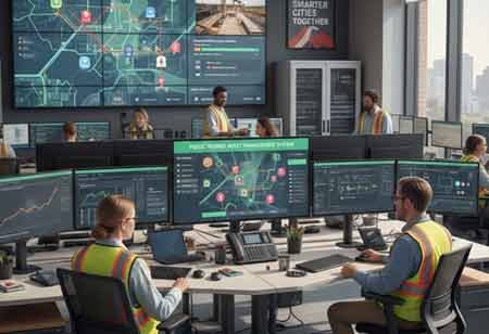
Cloud-based incident management system (IMS) software allows emergency managers to track incidents, allocate resources, and ensure real-time communication among various agencies. IMS systems enhance coordination between local, state, and federal agencies, reducing confusion and improving response time by centralizing information.
Technology-powered logistics platforms help efficiently distribute food, medical supplies, and other critical resources to affected areas. GPS tracking and real-time analytics can optimize delivery routes, ensuring that aid reaches its destination quickly and safely.
Post-disaster damage assessment is vital for prioritizing recovery efforts. Satellite imagery, drone footage, and AI-powered analytics are now used to assess damage more accurately and quickly. These technologies can identify areas of destruction, map out the most affected regions, and help allocate resources based on real-time data.
I agree We use cookies on this website to enhance your user experience. By clicking any link on this page you are giving your consent for us to set cookies. More info


